January 2020-December 2022
Project Summary:
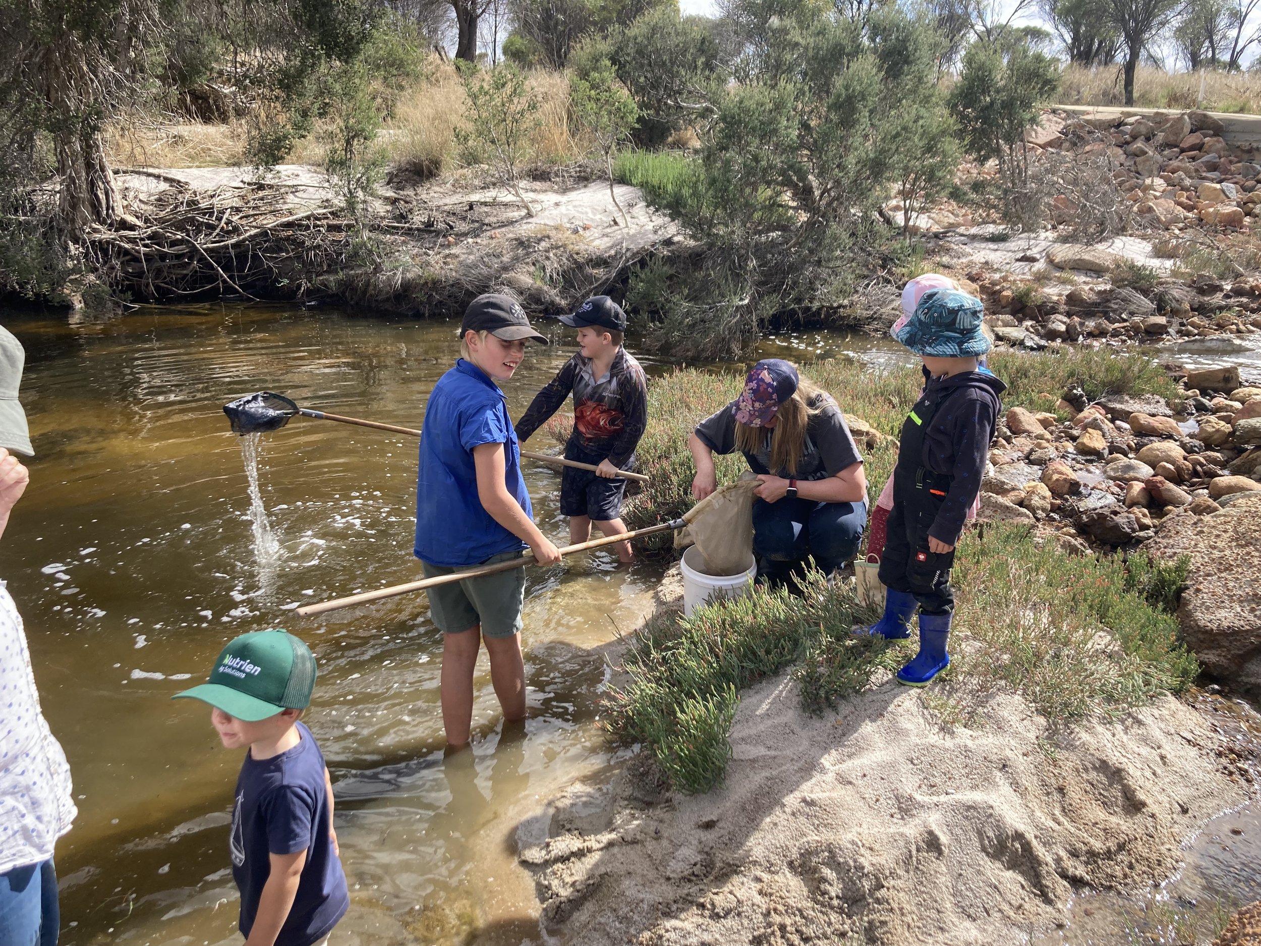
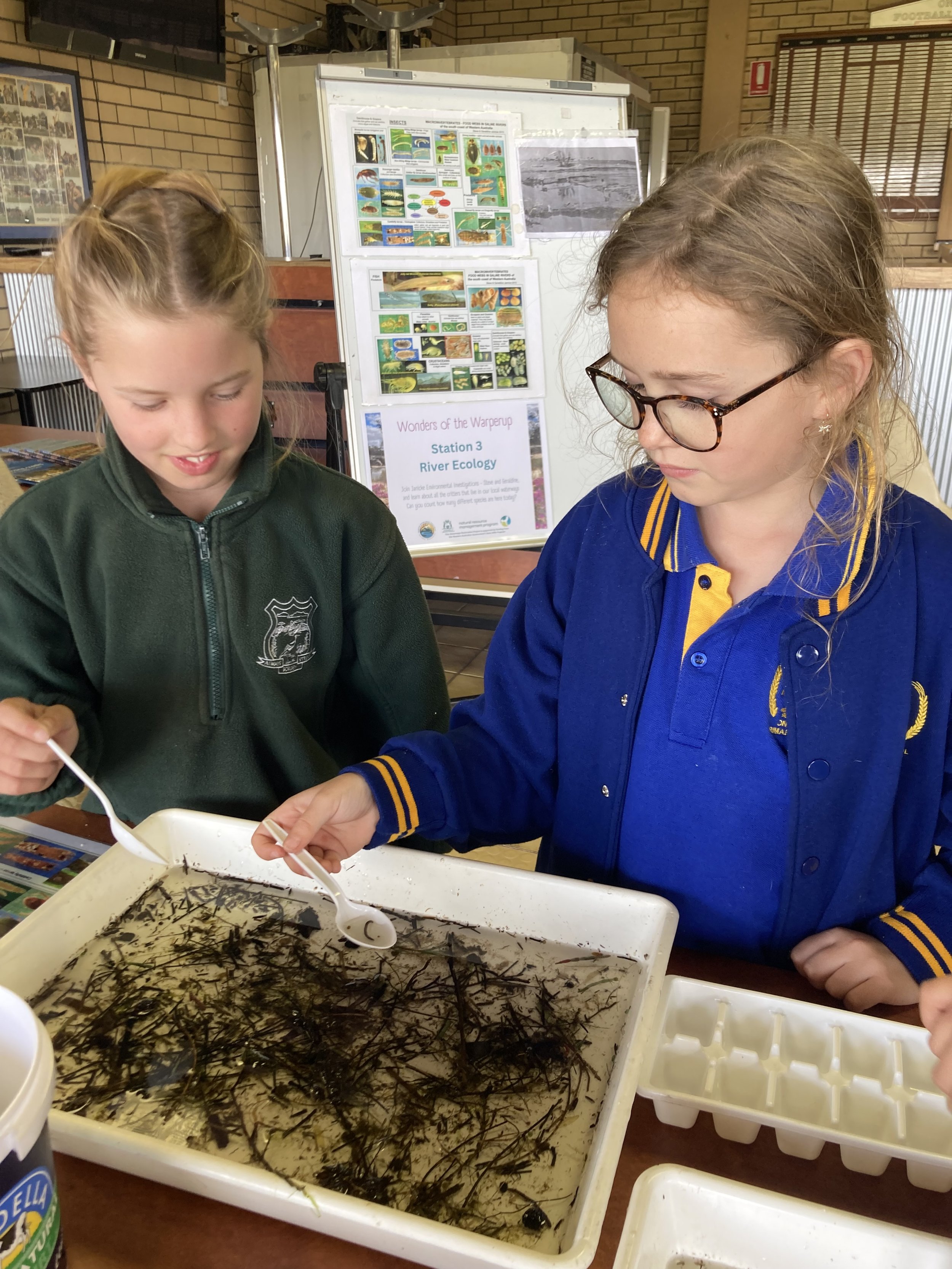
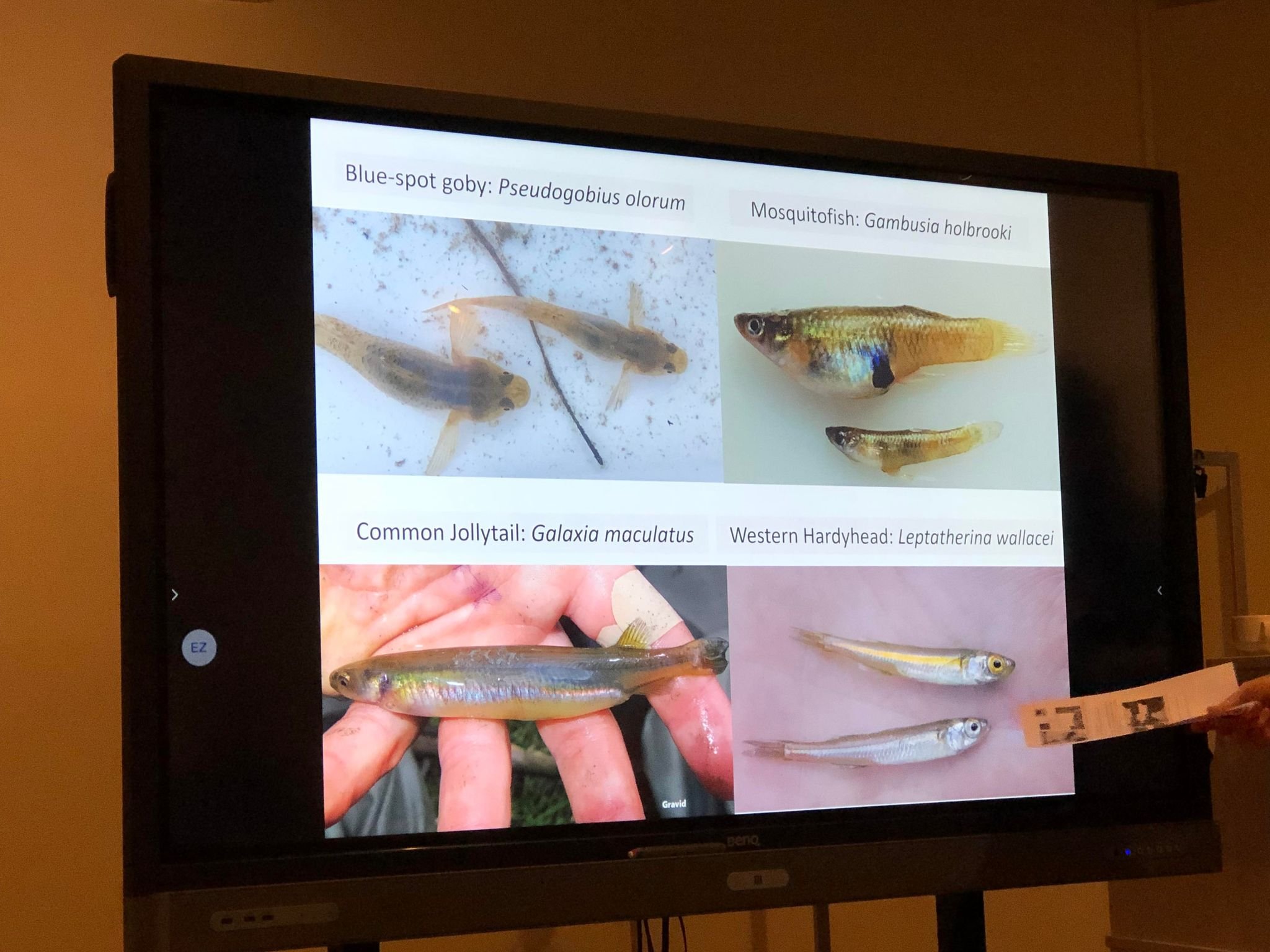
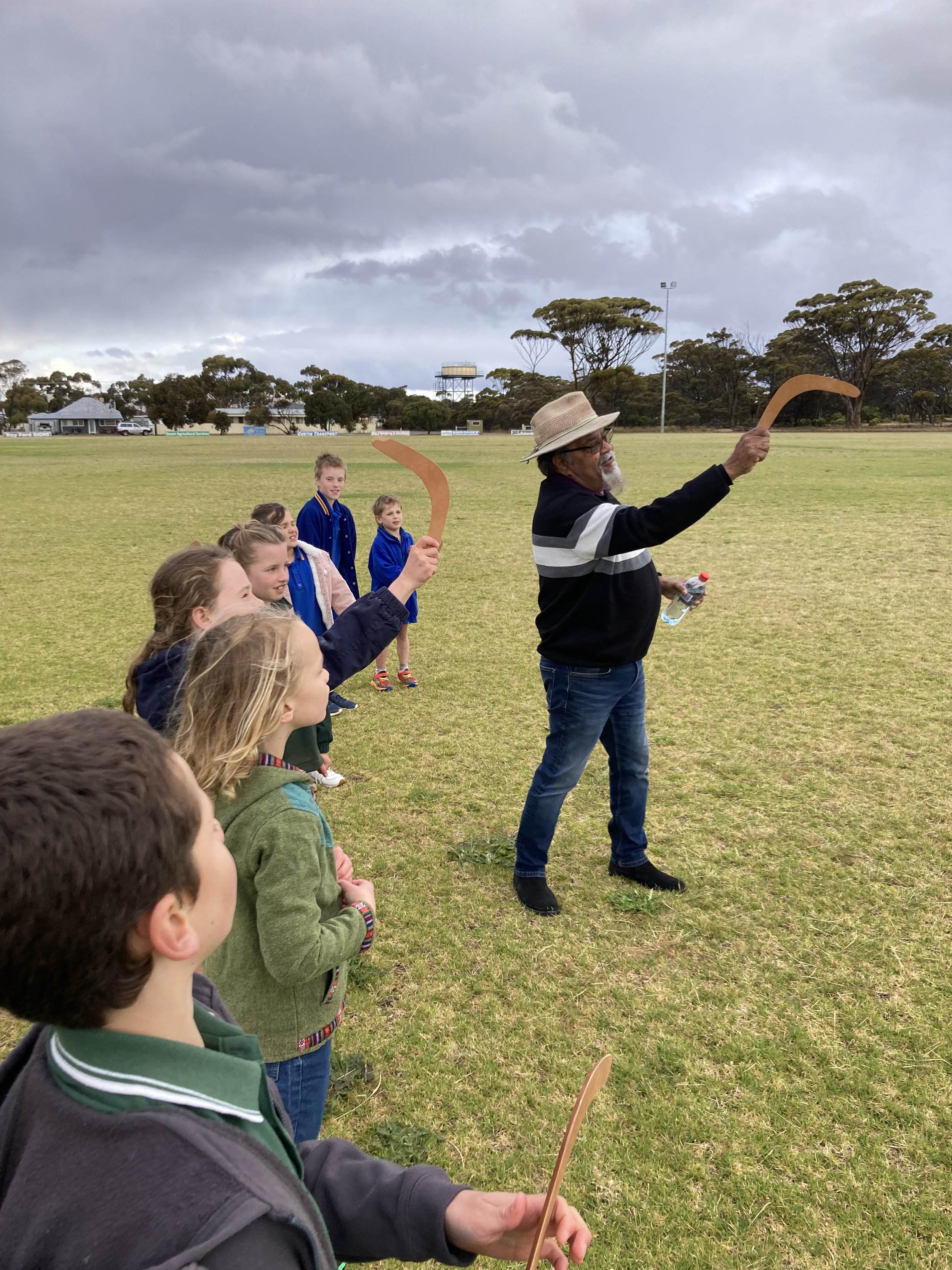
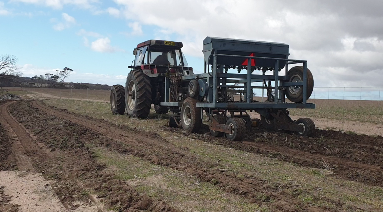
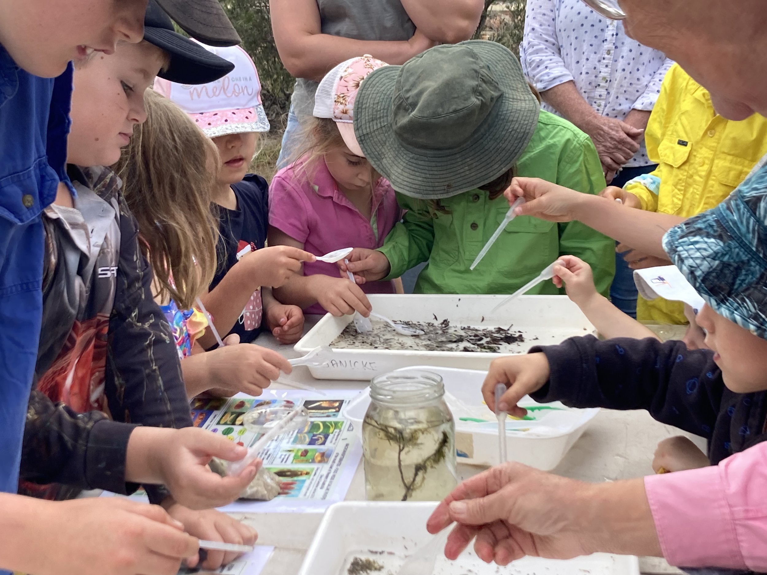
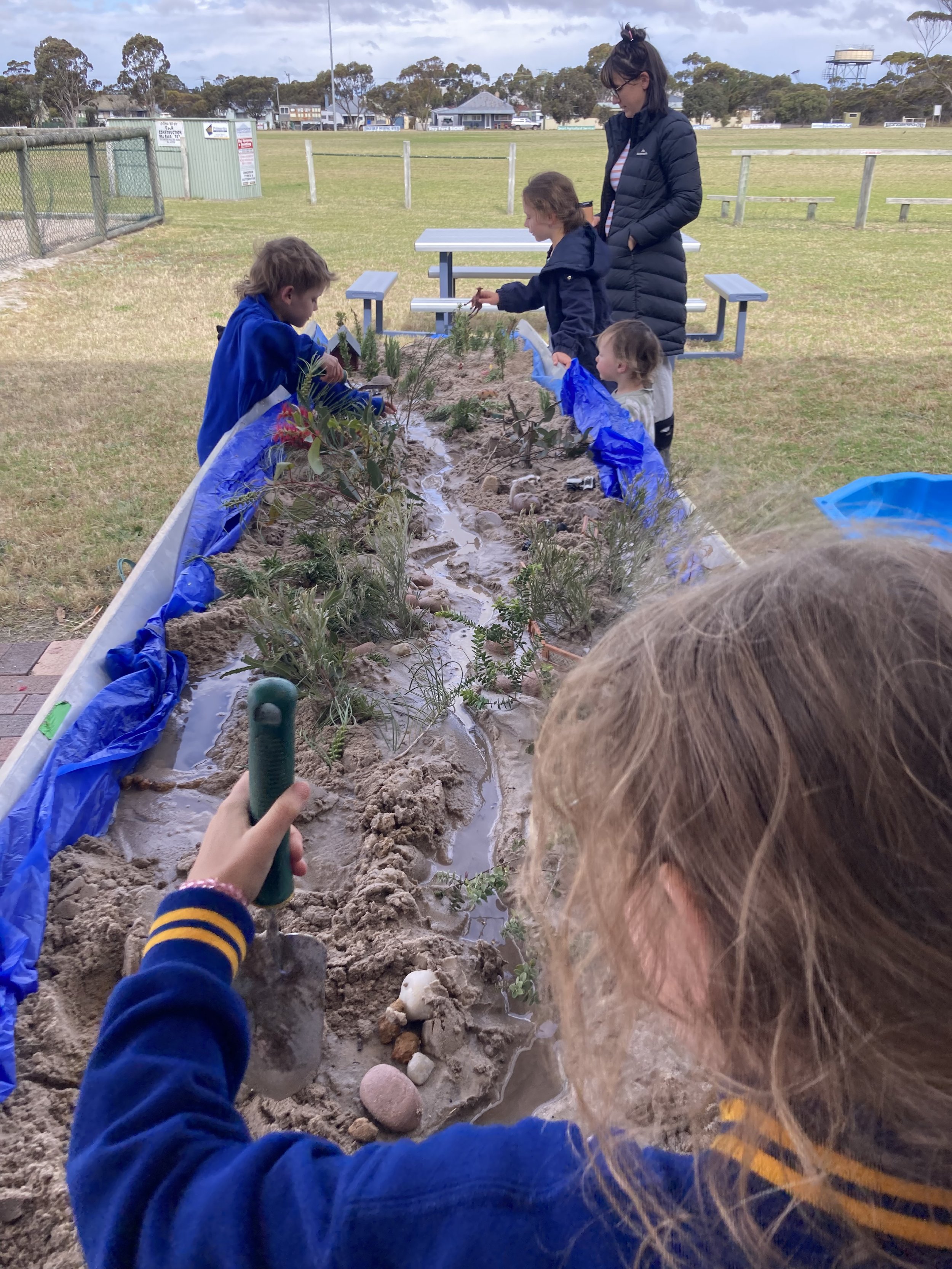
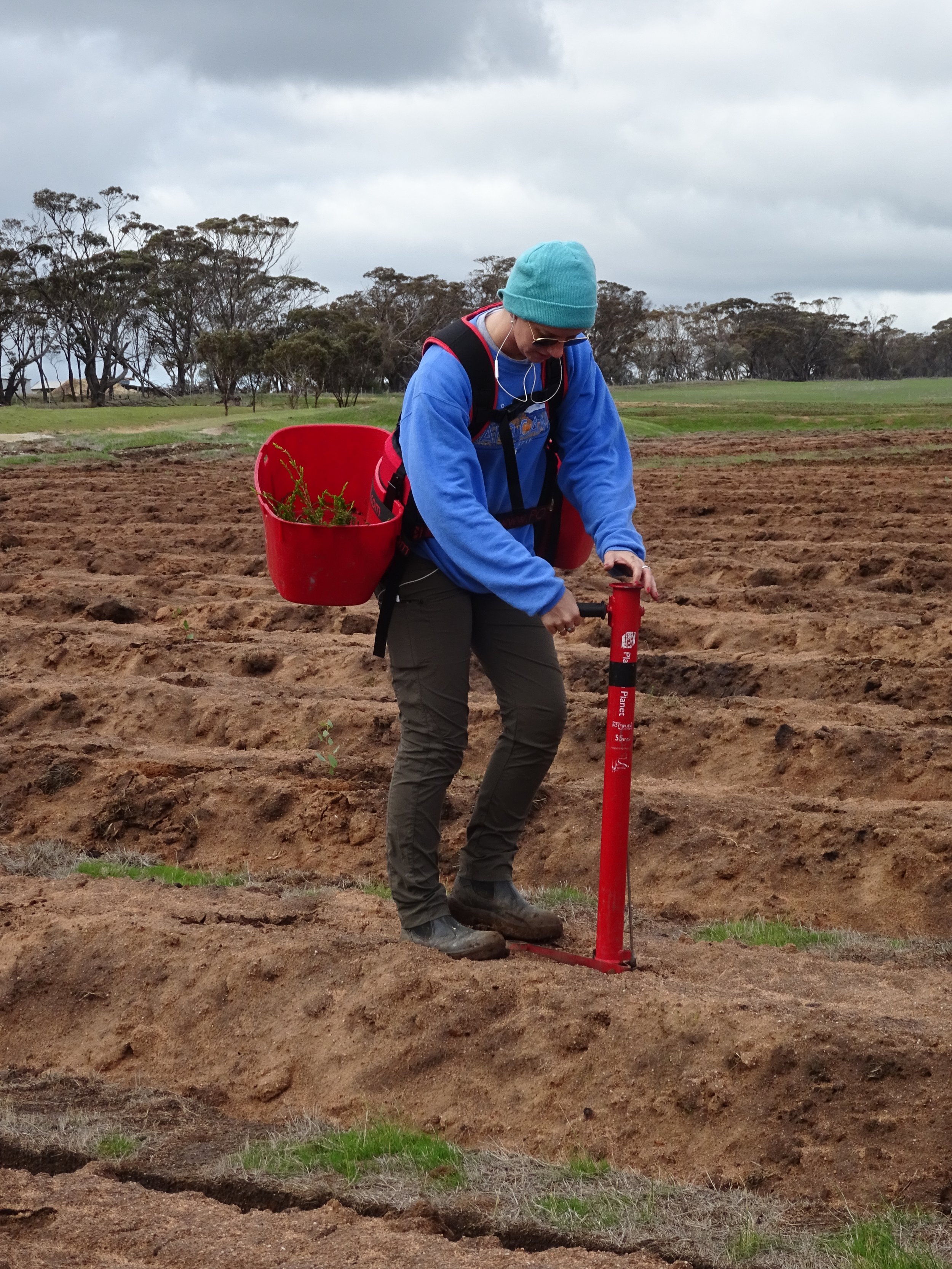
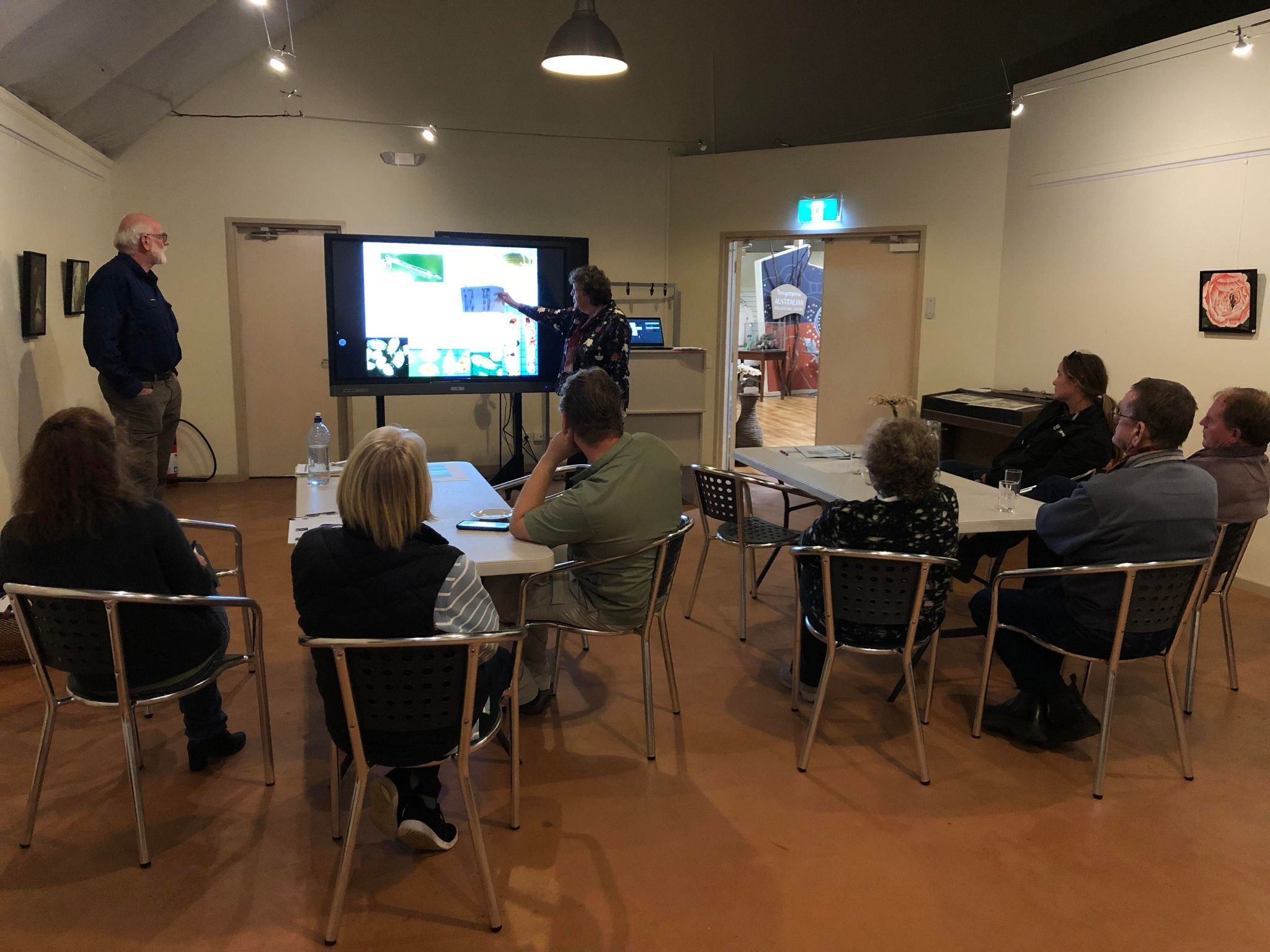
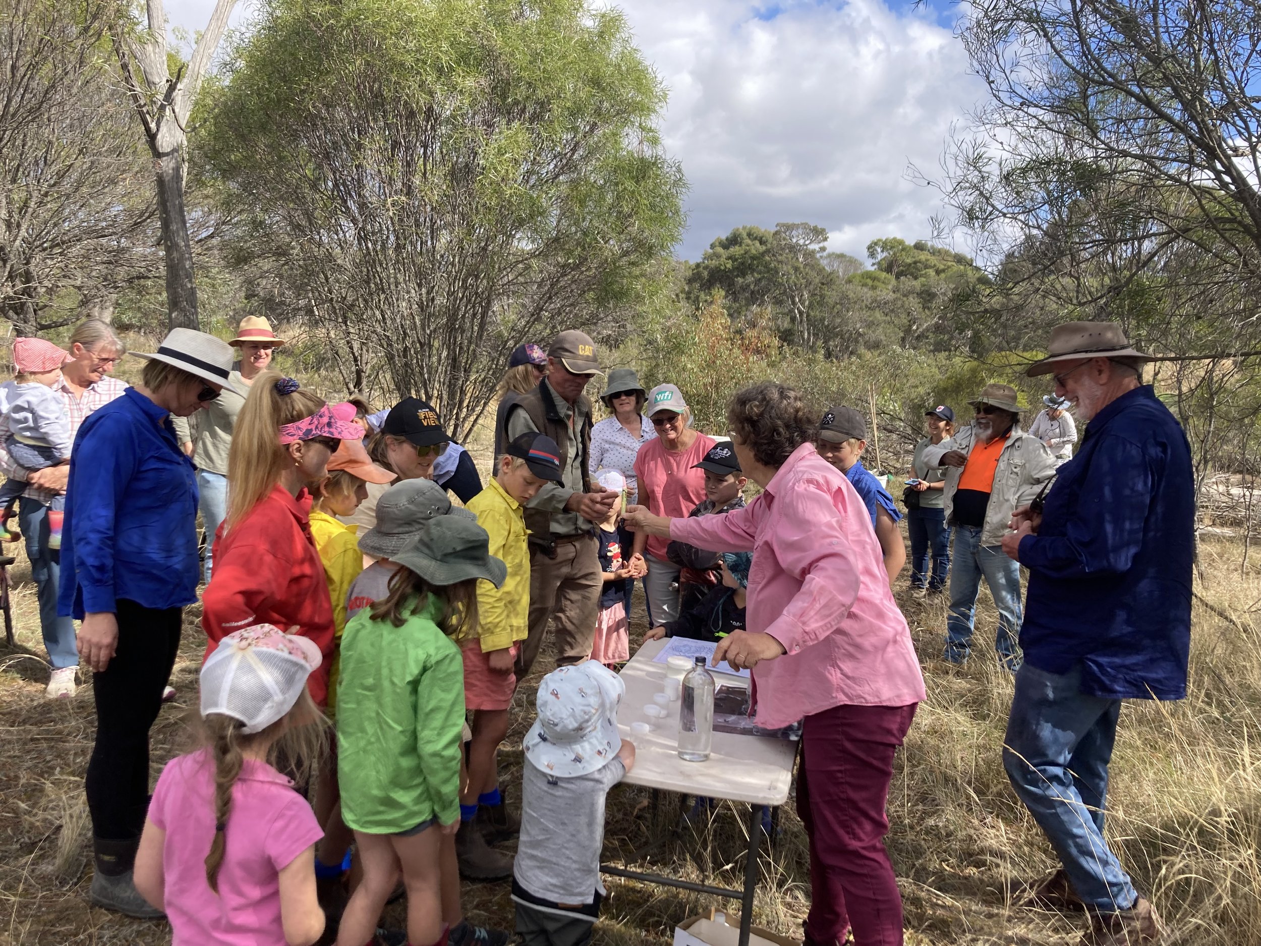
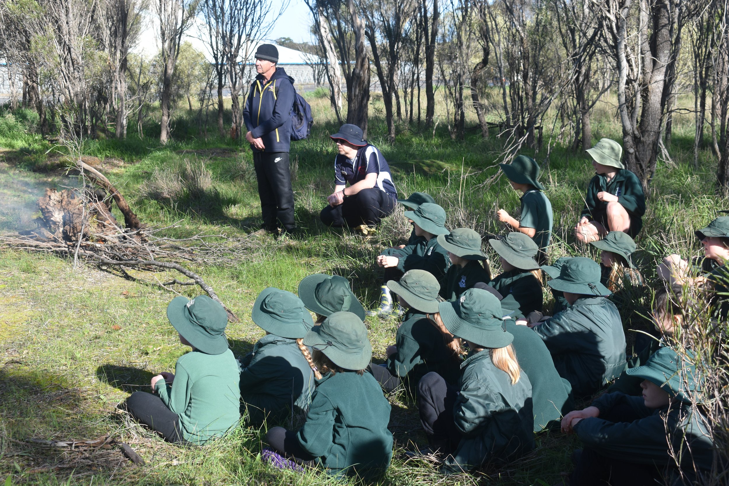
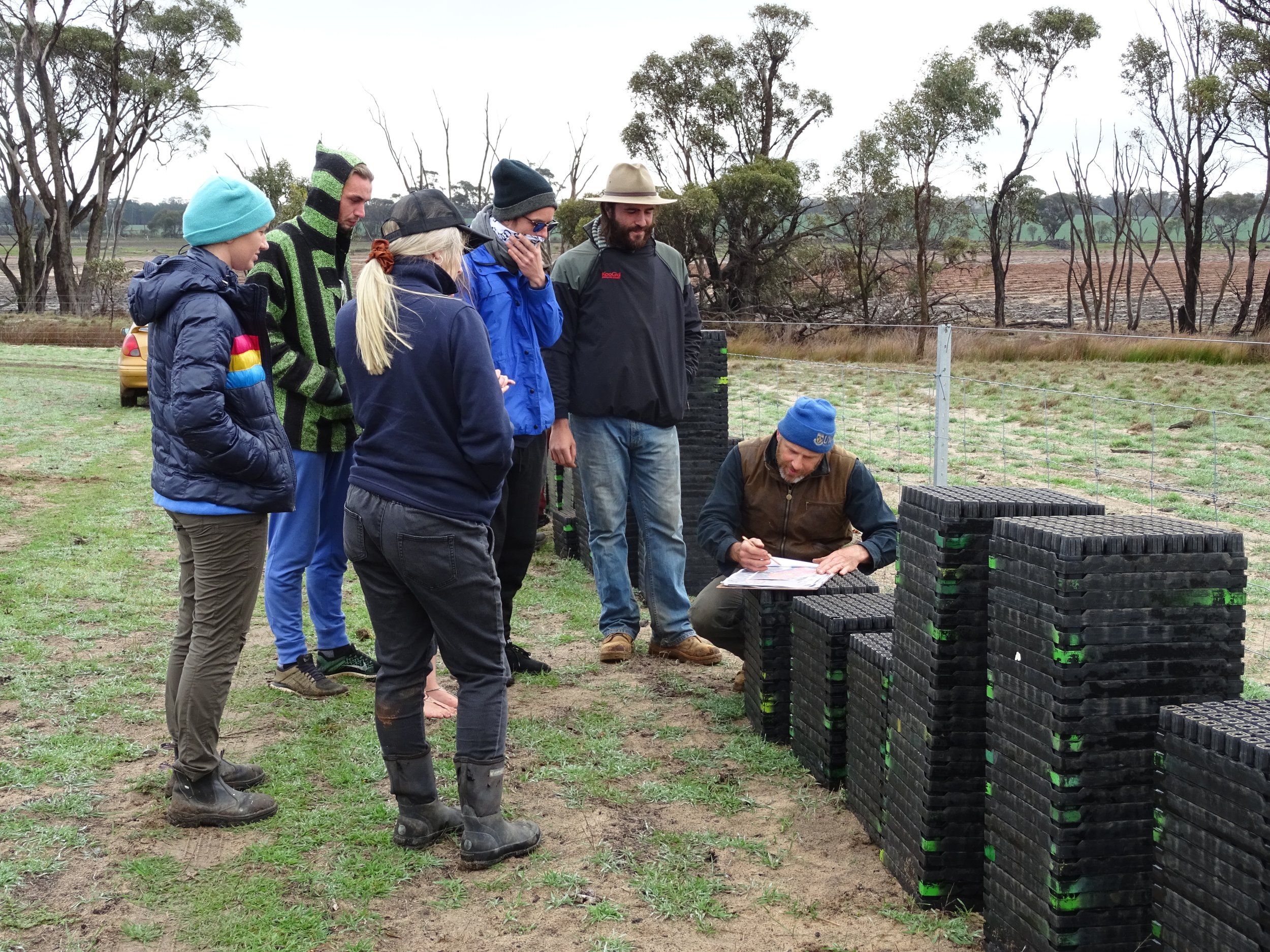
The urgency for further restoration and protection of the Pallinup River has been highlighted by the 2016/17 floods and wind events in June 2018. With over 90% of native vegetation cleared in the sub-region, our river system is currently experiencing severe degradation. Our project will deliver strategic restoration of fragmented sections of the Pallinup River through protective fencing (conserving 389 hectares of remnant vegetation and exposed creeklines) and establishing 24 hectares of native vegetation. In addition, the project will design and implement a water-quality and biodiversity-value monitoring framework, provide educational workshops and promote the river's cultural significance within our communities.
This project has resulted in the Warperup Feasibility Study Report, as well as 4 supporting documents (SD). Please refer to these documents below, as prepared for North Stirlings Pallinup Natural Resources Inc by Steve and Geraldine Janicke of Janicke Environmental Investigations.
Warperup Feasibility Study Report
Supplement 1: Warperup Creek Landholder Survey 2022
Supplement 2: Warperup Creek Literature Review 2022
Supplement 3 - Warperup Creek Water Condition Monitoring Framework 2022
Supplement 4: Warperup Creek Water Condition Monitoring Results 2020-2022
This Project was supported by funding from the Western Australian Government’s State NRM Program.